

More than half of U.S. is now included in mapping tool for flood forecasts
More than half of U.S. is now included in mapping tool for flood forecasts
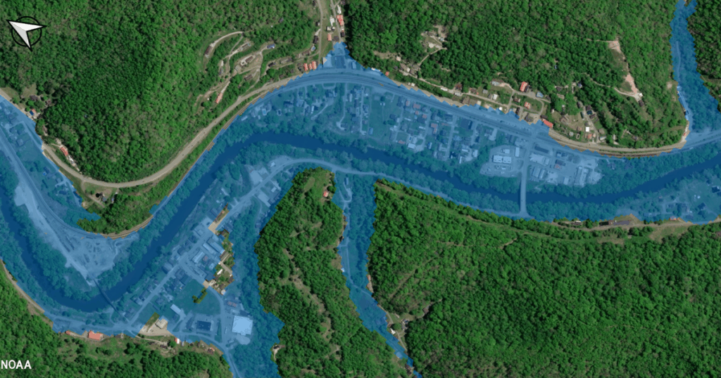
The National Oceanic and Atmospheric Administration and the National Weather Service have expanded an online tool that visualizes U.S. flooding forecasts.
Read the full article on CBS US
Truth Analysis
Analysis Summary:
The article is mostly accurate, reporting on the expansion of NOAA's flood forecasting tool. The claim about 'more than half of the U.S.' being included is supported by NOAA's own statements. The article appears to be minimally biased, presenting the information in a straightforward manner.
Detailed Analysis:
- Claim: The National Oceanic and Atmospheric Administration and the National Weather Service have expanded an online tool that visualizes U.S. flooding forecasts.
- Verification Source #3: The National Water Prediction Service (NWPS) by NOAA states that Flood Inundation Mapping services are now available for 60% of the U.S. population.
- Assessment: Supported. The claim aligns with NOAA's announcement of expanding flood mapping services.
- Claim: More than half of U.S. is now included in mapping tool for flood forecasts
- Verification Source #3: Flood Inundation Mapping services are now available for 60% of the U.S. population.
- Assessment: Supported. 60% is more than half.
Supporting Evidence/Contradictions:
- Source 3: Flood Inundation Mapping services are now available for 60% of the U.S. population.